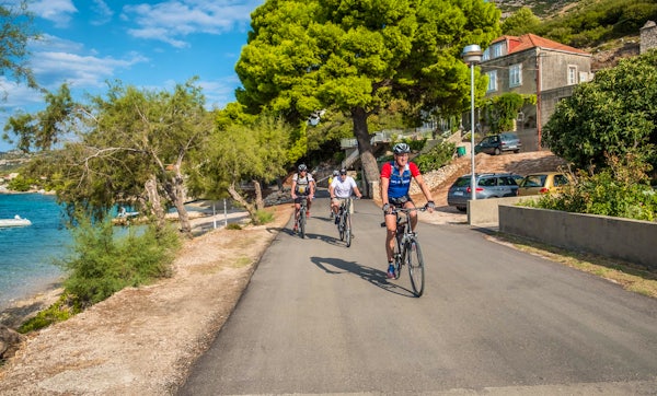
To enhance your Cycle or Hike experience and keep up to date with the daily itinerary, Sail Croatia recommends using the OsmAnd App.
OsmAnd is an open source App that allows you to view, edit and track your daily ride/hike. The interactive App allows you to use live, online maps, or access an offline database when you do not have access to an internet connection.
Whilst your cycle guide will of course provide you with information about your daily ride, the app allows you to see the estimated altitudes, distances and terrain ahead of time, as well as go back to view previous routes once you’ve completed them!
Downloading the App is completely optional and is recommended to enhance your Active experience!

Here are few reasons why we fell in love with the OsmAnd App:
- Access to free, high-quality maps, both online and offline
- Easy navigation
- Up to 10 free map downloads
- Offline voice and visual navigation
- Estimated time of arrival, speed & altitude
- Easy to use
We would recommend downloading and becoming familiar with the App ahead of your Cycle or Hike Cruise.
Lets cover a few basic steps on how to use the App:
- Download OsmAnd App
Search for OsmAnd in the Apple Store or Play Store, and hit install. Once the App is installed, tap the new OsmAnd icon on your home screen, where you will be invited to ‘Get Started’.


- Download the Croatian Map
Tap the “Menu” icon (bottom left three lines) and select “Download maps” to get your first map - Croatia.

- Get GPX file to your phone
OsmAnd uses GPX as the map file format, so you will need to download it to your phone. Your Sail Croatia guide will send you a GPX file to download via WhatsApp (or similar) once you’re on the cruise, however you can download a test file before your cruise to become familiar with the app.
Simply click on this link (mobile only) and select to open via OsmAnd, to access a GPX test file that will show you a walking tour of Split!
- Access GPX file
Once you’ve clicked on the link, you will be automatically directed to the OsmAnd route overview.
Otherwise tap on Menu -> My Places and then Tracks on the top. Click on the “Import” folder now and select the route / GPX file of your preference. Your GPX track should now be visible on the map (highlighted mini-map).


- Navigation
Tap on the mini-map to enlarge it and then tap the curved arrow icon to access the turn-by-turn directions and follow the route.

HANDY TIP! Interactive Route Info
You can view the elevation profile along with the route on the map. Just go back to the full track view (highlighted mini-map) and tap the “Analyse Map”.The graph is interactive, tap and move a slider left or right to see the data for a specific point. You can view the altitude, slope, or a combination of both.

We recommend OsmAnd for navigating cycling and hiking itineraries. If you need any more assistance with the use of the Application, please approach your cycle guide.